Learn how to convert point cloud to DWG in a quick guide. Easily utilize 3D data in CAD applications. Perfect for Designers and Engineers.
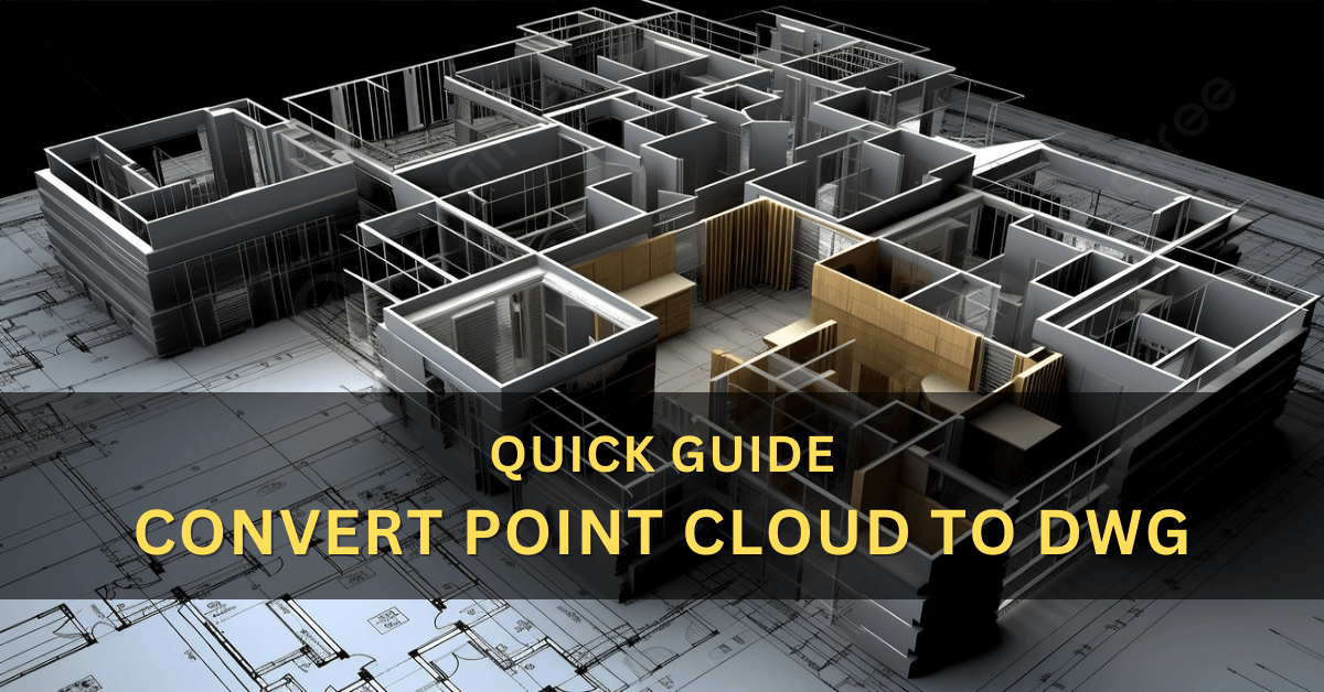
Quick Guide: Convert Point Cloud to DWG
This quick guide will explore converting point cloud data to DWG format. Converting point cloud data to DWG can be crucial in various industries, such as architecture, engineering, and construction.
DWG (Drawing) is a file format for storing two-dimensional and three-dimensional design data. Point clouds, on the other hand, are data points in a three-dimensional coordinate system collected through laser scanning or photogrammetry.
The Convert Point Cloud to DWG allows professionals to work with accurate and precise design data in their projects.
Introduction
Point cloud technology adoption has revolutionized how professionals gather and analyze real-world data for various projects.
Point cloud provide detailed and accurate representations of physical spaces and objects. However, it is essential to convert point cloud to more commonly used file formats like DWG to utilize this data effectively.
Understanding Point Cloud
A point cloud is a massive dataset comprising millions of points defined by X, Y, and Z coordinates. These points are generated using various scanning methods, such as LiDAR (Light Detection and Ranging) or photogrammetry.
The point cloud is valuable for obtaining as-built data and creating precise 3D models.
Importance of Converting Point Cloud to DWG
DWG is the preferred file format for many design professionals, allowing them to create and edit intricate 2D and 3D drawings. Converting point cloud data to DWG enables seamless integration of the captured real-world data into the design process.
Software Solutions for Conversion
Several software solutions are available for converting point cloud data to DWG. Some popular options include Autodesk Recap, CloudCompare, and Leica Cyclone. These tools offer various features for data processing and export.
Step-by-Step Guide: Convert Point Cloud to DWG
Let’s explore a step-by-step guide to converting point cloud data to DWG using Autodesk Recap, a widely used software.
Step 1: Importing the Point Cloud Data
Launch Autodesk Recap and import the point cloud data from the scanning process.
Step 2: Cleaning and Preparing the Data
Clean the point cloud data by removing any outliers or unwanted elements that may interfere with the design process. Prepare the data by segmenting it into relevant sections.
Step 3: Scaling and Georeferencing
Scale the point cloud data accurately to ensure its alignment with real-world dimensions. Georeference the data to assign real-world coordinates to the points.
Step 4: Tracing the DWG Elements
Trace the point cloud data elements, such as walls, beams, and other structural elements, to create corresponding DWG entities.
Step 5: Organizing Layers and Properties
Organize the DWG elements into appropriate layers and assign properties like line styles, colors, and thickness to make the drawing more informative.
Tips for Efficient Conversion
To achieve the best results during the conversion process, consider the following tips:
Tip 1: Utilize Relevant Software Tools
Choose the right software that meets the specific needs of your project and supports the necessary features to convert point cloud to DWG.
Tip 2: Optimize Point Cloud Data
Before conversion, optimize the point cloud data by removing redundant points and reducing the file size, which will speed up the conversion process.
Tip 3: Regularly Check for Accuracy
Regularly verify the accuracy of the converted DWG data concerning the original point cloud to avoid any discrepancies in the final design.
Advantages of Converting Point Cloud to DWG
Converting point cloud data to DWG offers several advantages, making it a crucial step in various industries:
Advantages 1: Precise Design Representations
DWG format allows for precise and detailed design representations, making it easier for professionals to work on complex projects.
Advantages 2: Easy Collaboration and Sharing
With DWG files, professionals can easily collaborate on projects and share design data with team members and stakeholders.
Advantages 3: Time and Cost Savings
Converting point cloud to DWG streamlines the design process, reducing the time and cost involved in manual data entry and modeling.
Applications of Point Cloud to DWG Conversion
The conversion of point cloud to DWG has found applications in diverse fields:
Application 1: Architectural Design
Architects use point cloud data to create accurate as-built models of existing structures, facilitating renovations and remodeling projects.
Application 2: Civil Engineering Projects
In civil engineering, the point cloud is used for site surveys, road design, and infrastructure planning.
Application 3: Industrial Plant Layouts
Point cloud to DWG conversion is employed in designing and modifying industrial plant layouts.
More: PDF to CAD Conversion Services
Challenges and Limitations
While convert point cloud to DWG conversion offers numerous benefits, it comes with some challenges and limitations:
Challenge 1: Large Data Size
Point cloud data can be massive, leading to data storage and processing challenges.
Challenge 2: Complex Geometries
Handling complex geometries from the point cloud may require specialized software and skilled professionals.
Challenge 3: Data Inconsistencies
Point cloud data may have inconsistencies, necessitating careful analysis during conversion.
Future of Point Cloud Technology
As technology advances, point cloud processing tools and algorithms will become more efficient, allowing for even better and faster conversion to various file formats.
Conclusion
Converting point cloud data to DWG is vital in utilizing the rich information gathered through scanning methods. It enables architecture, engineering, and construction professionals to work with precise and detailed design data, fostering more accurate and efficient project outcomes.
Frequently Asked Questions – FAQ
What is a point cloud?
A point cloud collects data points in a three-dimensional coordinate system. Each point represents a specific position in space and is often used to describe the surface of physical objects or environments. The point cloud is commonly generated by 3D scanning technologies such as LiDAR or photogrammetry.
Why would I need to convert point cloud to DWG?
Converting a point cloud to DWG (Drawing) format allows you to utilize the data in various computer-aided design (CAD) applications. DWG is a popular file format used by software like AutoCAD, enabling you to work with point cloud data for design, analysis, and other CAD-related tasks.
Can I edit the point cloud data after converting it to DWG?
After converting the point cloud to DWG, you can edit and manipulate the data in the CAD software. AutoCAD, for example, allows you to perform various operations on the point cloud, such as cropping, scaling, and filtering, to refine the data for your specific project requirements.
Is there any limitation to convert point cloud to DWG?
Yes, there are some limitations to consider. Point cloud can be large datasets, and converting them to DWG may result in significant file sizes, affecting performance. Additionally, the level of detail in the point cloud might need to be adjusted to balance accuracy and file size.
Can I share DWG files containing point cloud data with others?
Yes, you can share DWG files containing point cloud data with others, but it’s essential to consider the file size and the recipient’s access to compatible software. If the file is too large for easy sharing, you may need to compress it or use cloud-based platforms to collaborate effectively.